Illustrative Maps 2014
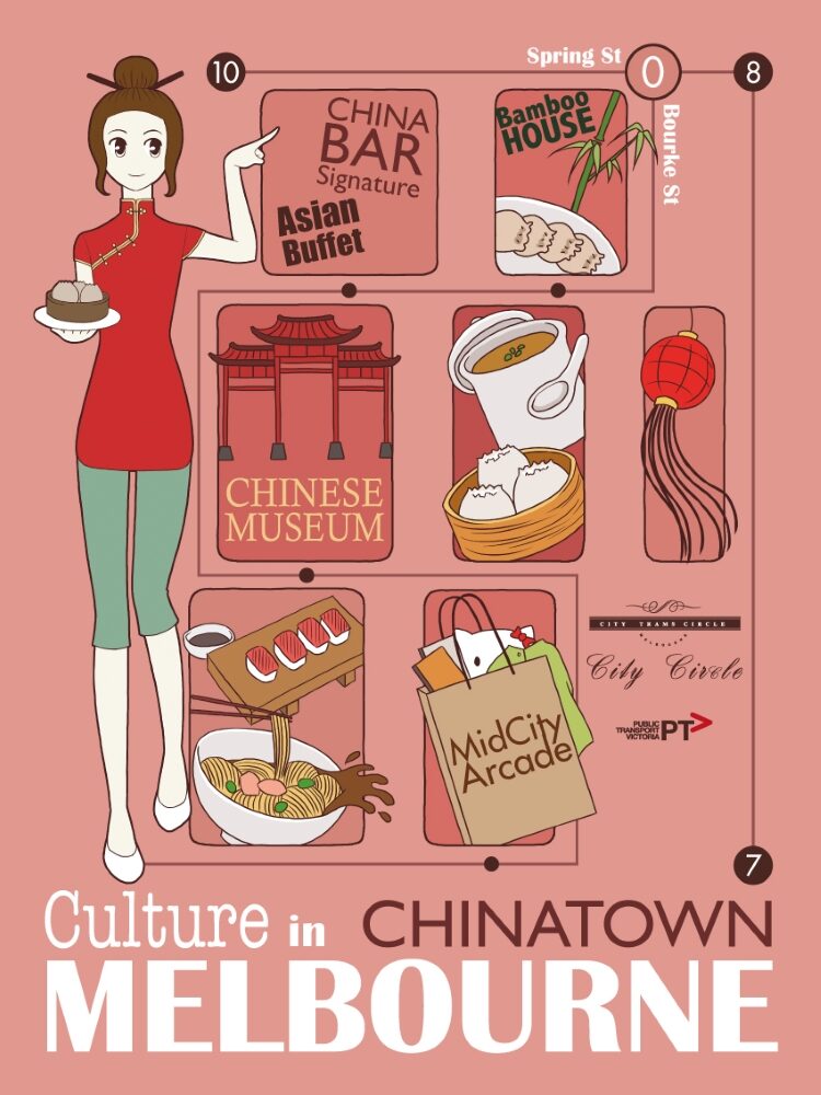
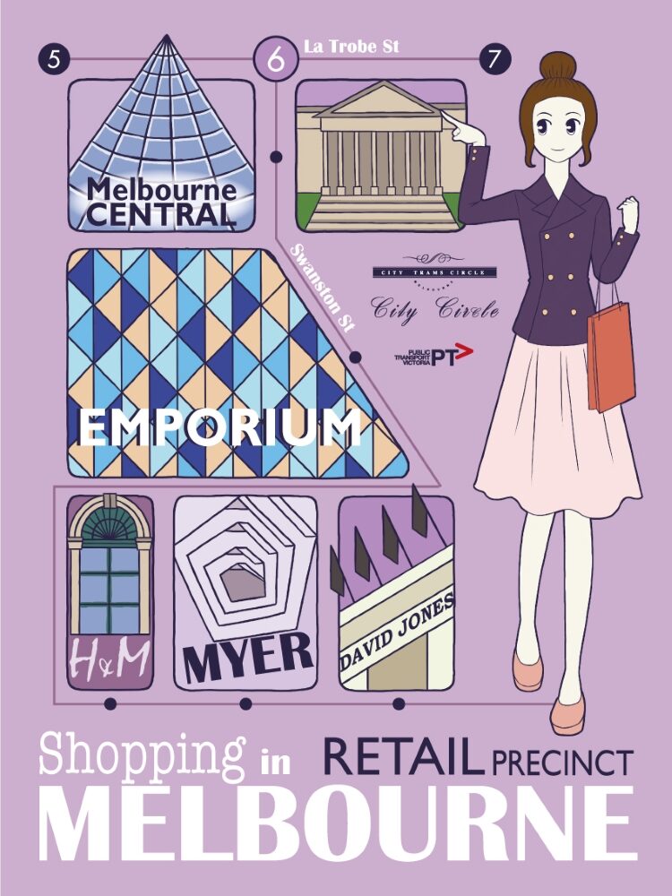
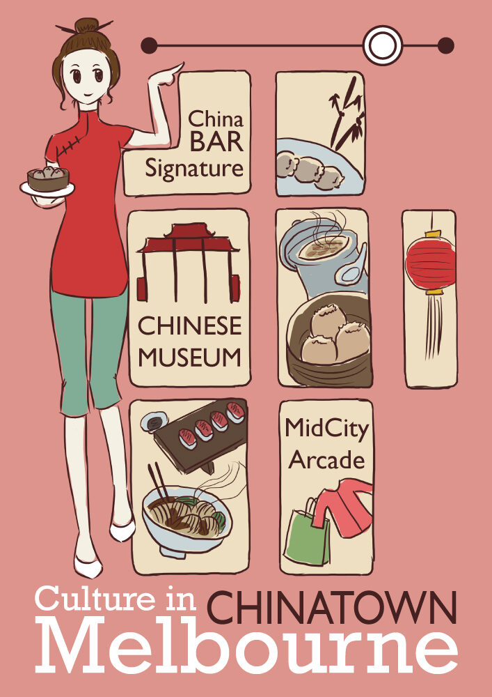
Illustrative maps design project for my graphic design course in 2014. The task was to create two illustrated maps of Melbourne’s City Circle tram route to promote certain sights and landmarks along the route. I decided to showcase Melbourne’s Chinatown area and retail precinct, and picked certain landmarks to feature in the maps.
Created in Adobe Photoshop with Wacom tablet and post-processed in Adobe Illustrator.
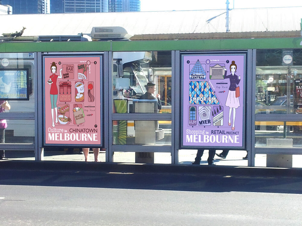
Tram shelter signage mock up of my maps, done (rather poorly) using Adobe Photoshop.
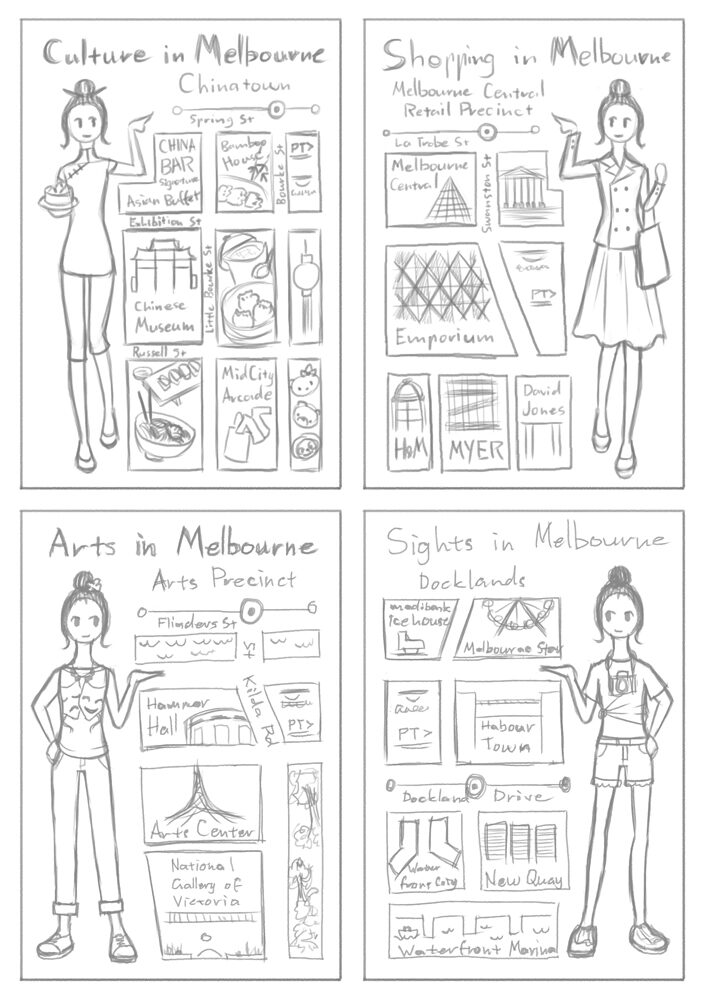

I started with four initial map thumbnail sketches and four different outfits for my map mascot character. I went with Chinatown and Retail Precinct as my two maps for the project because the other two were more at the edge of the tram route I was suppose to promote and not quite within the tram route.

Drafts of my illustrative maps before the finalised versions.